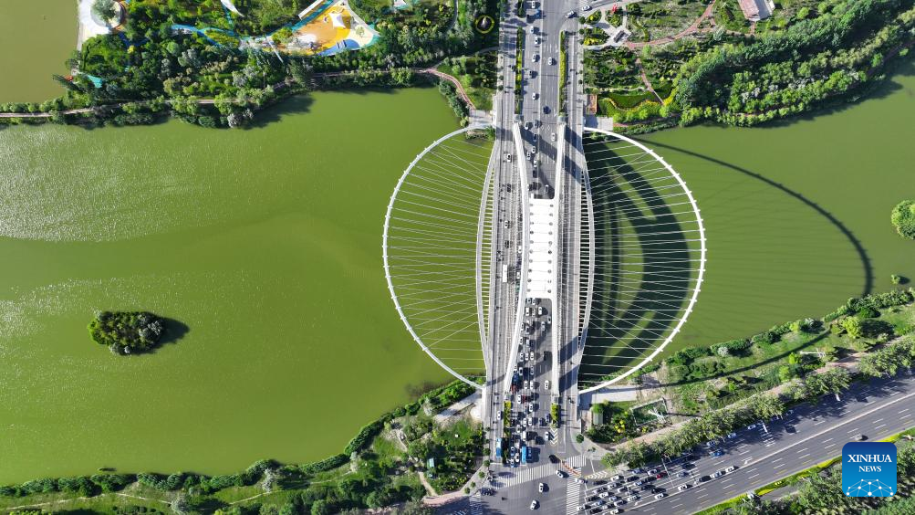
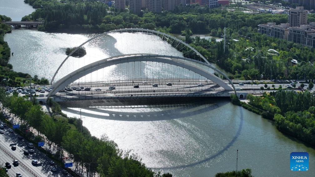
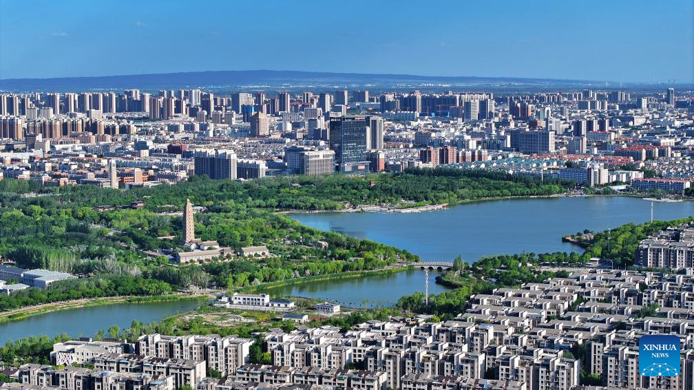
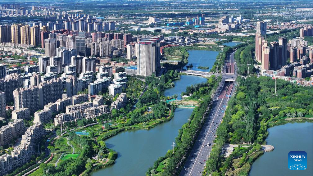
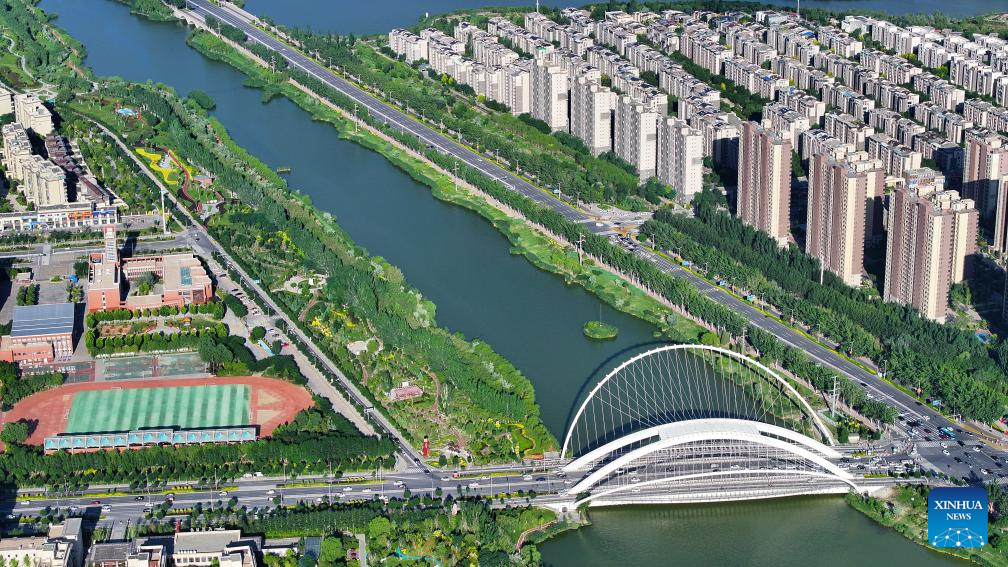
An aerial drone photo taken on June 23, 2024 shows the buildings along Tanglai Canal in Yinchuan, northwest China's Ningxia Hui Autonomous Region. (Xinhua/Wang Peng) An aerial drone photo taken on June 23, 2024 shows the Fenghuang Bridge over the Diannong River in Yinchuan, northwest China's Ningxia Hui Autonomous Region. (Xinhua/Wang Peng) An aerial drone photo taken on June 23, 2024 shows the Fenghuang Bridge over the Diannong River in Yinchuan, northwest China's Ningxia Hui Autonomous Region. (Xinhua/Wang Peng) An aerial drone photo taken on June 23, 2024 shows the Haibao Lake in Yinchuan, northwest China's Ningxia Hui Autonomous Region. (Xinhua/Wang Peng) An aerial drone photo taken on June 23, 2024 shows the Diannong River in Yinchuan, northwest China's Ningxia Hui Autonomous Region. (Xinhua/Wang Peng) An aerial drone photo taken on June 23, 2024 shows the Diannong River in Yinchuan, northwest China's Ningxia Hui Autonomous Region. (Xinhua/Wang Peng) An aerial drone photo taken on June 23, 2024 shows the Fenghuang Bridge over the Diannong River in Yinchuan, northwest China's Ningxia Hui Autonomous Region. (Xinhua/Wang Peng) An aerial drone photo taken on June 23, 2024 shows a view of the Diannong River in Yinchuan, northwest China's Ningxia Hui Autonomous Region. (Xinhua/Wang Peng)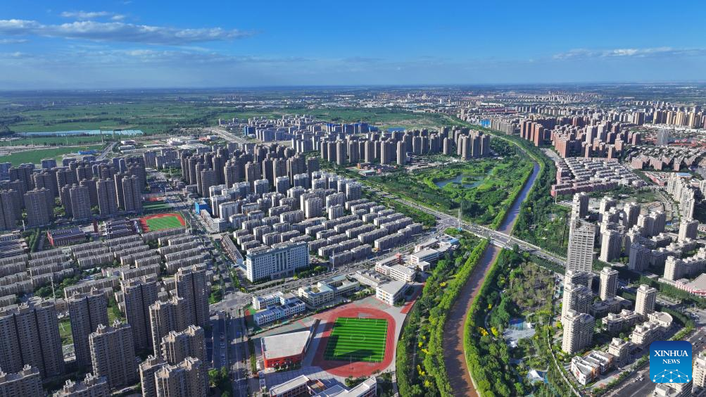


Aerial view of Yinchuan, NW China's Ningxia
Editor:谭婕倪
Source:Xinhua
Updated:2024-06-28 10:01:44
Source:Xinhua
Updated:2024-06-28 10:01:44


Special


Links


Contact
Welcome to English Channel! Any suggestion, welcome.Tel:0731-82965627
lisl@rednet.cn
zhouqian@rednet.cn